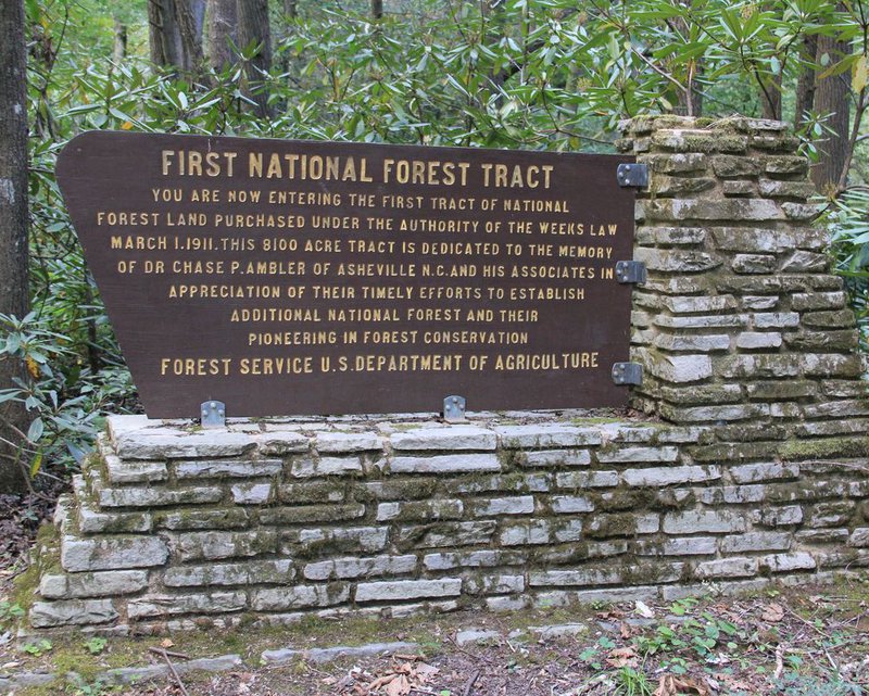
The Curtis Creek area of the Blue Ridge Mountains offers some of the most beautiful hikes in the region, traversing ridgetops with stunning views and passing numerous crystalline waterfalls. This section of the Blue Ridge Mountains was the beginning tract of land in what is now known as the Pisgah National Forest. Hikers love the challenge of the Curtis Creek Trails. Some trails are of moderate difficulty and can be handled by most hikers. However, the Snooks Nose Trail is one of the most difficult hikes in the entire region. Here's a guide to the best trails to explore in this section of forest.
Sugar Cove Trail
The Sugar Cove Trail in Curtis Creek is the ideal trek for anyone looking for a moderate hike. The trail is a total of 5 miles roundtrip and ranks low on the difficulty level. The steepness of the trail is gradual, and because the path is an old road that’s been converted to trail, it’s generally smooth with only a few obstacles along the way.
Hickory Branch Trail
If you don’t have all day but still want a thrilling hike, the Hickory Branch Trail is an excellent choice. Though short at 3.2 miles roundtrip, it’s not easy. In fact, it rates at about a 7 out of 10 level of difficulty. Expect to see numerous waterfalls, fragrant woods, and plentiful creeks along the way.
The trail begins with a switchback to the top of the ridge and then descends to Hickory Branch. Depending on the water height, you may be able to rock-hop, but be prepared to get wet. Continue on to enjoy the flowering bushes in a scenic cove. Keep an eye out for a rocky outcropping – almost like a wall - on your left where you’ll see Hickory Branch Falls to your right. Travel over the hills, passing many falls along the way. The trail ends after another climb through a pine forest to the ridge and then back down through more woodland. Most of the 3000-ft elevation occurs at this end of the hike.
Lead Mine Gap Trail
The Lead Mine Gap Trail is a 7.5-mile roundtrip hike with moderately rough terrain. It ranks very low on the difficulty scale, allowing you to enjoy the walk over the rolling hills and take in the stunning views along the way.
Mackey Mountain Trail
If you’re up for a challenge, the Mackey Mountain Trail will make you sweat. The hike is 16 miles roundtrip over numerous hills of pretty rough terrain. The first part of the trail is deceptive with its gently winding path over the hilly landscape. You’ll hike along and across the ridgeline, passing from Sam’s Knob over to Narrows Knob. As you get closer to Mackey Mountain, the trail becomes rougher and much more difficult to follow, earning it a difficulty rating of 8 out of 10. Many consider the remaining trail to be wilderness hiking.
Snooks Nose Trail
The 8-mile round-trip granddaddy of challenging trails in the Curtis Creek area is Snooks Nose Trail. Climbing almost vertically from 1850 feet up to 4750 feet, you’ll understand why this trail is rated a 10 out of 10 for difficulty. The trail originates at the Curtis Falls Campground, where you may consider spending the previous night so you can start out early the next morning. You’ll follow the winding trail along an old logging road to a cove named Slick Falls Branch. That’s where the casual hiking ends.
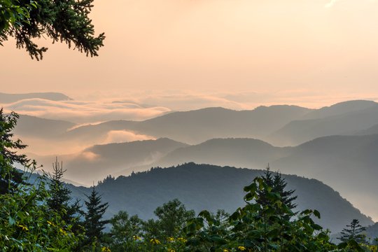
The next part of the trail is renowned for its brutally steep climb. The few switchbacks along the way do little to minimize the drastic rise. Just past Slick Falls, the old logging trail levels out for a brief respite before it begins its arduous ascent. Eventually you’ll emerge from a dense forest onto Snooks Nose with its unsurpassed view atop the ridge. To your east is Linville Gorge and the Blue Ridge Mountains lie to your west.
Some die-hard hikers looking to push themselves to their limit opt to keep climbing for another mile to the ridge where it crosses Laurel Knob at 4,300 feet. It then descends slightly to the Blue Ridge Parkway, then soars up again to the summit of Green Knob. This hike is extremely hazardous and should only be attempted by the most advanced hikers.
How To Get To Curtis Creek
Curtis Creek is tucked between Old Fort and the Blue Ridge Parkway, with a gravel road that connects the two. From I-40, you'll take Exit 73 towards Old Fort and follow Catawba Ave. north to US-70E (about half a mile). From there take 70 for 1.8 miles to Curtis Creek Rd. and turn left. You'll follow this road for four miles into the forest to reach the campground. The campground is open seasonally (April 1 - November) offering primitive sites as well as a place to park your camper. Here you'll find maps of the trail system or you can drive up the mountain to the reach the Blue Ridge Parkway.