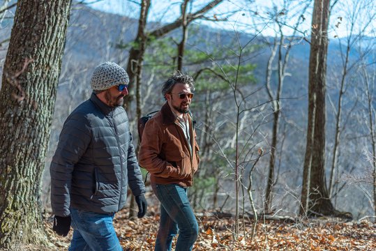
There is something about discovering a hidden gem that tempts you to keep it all to yourself. But then you realize it’s just too good not to share. That is how you'll feel after experiencing the pristine outdoor hiking, horseback riding, and mountain-biking trails of McDowell County. Last year, the Great Trails State Coalition succeeded in getting North Carolina officially declared “The Trail State.” To celebrate, we're sharing our 5 favorite local trails to explore during Year of the Trail 2023!
Old Fort Gateway Trails
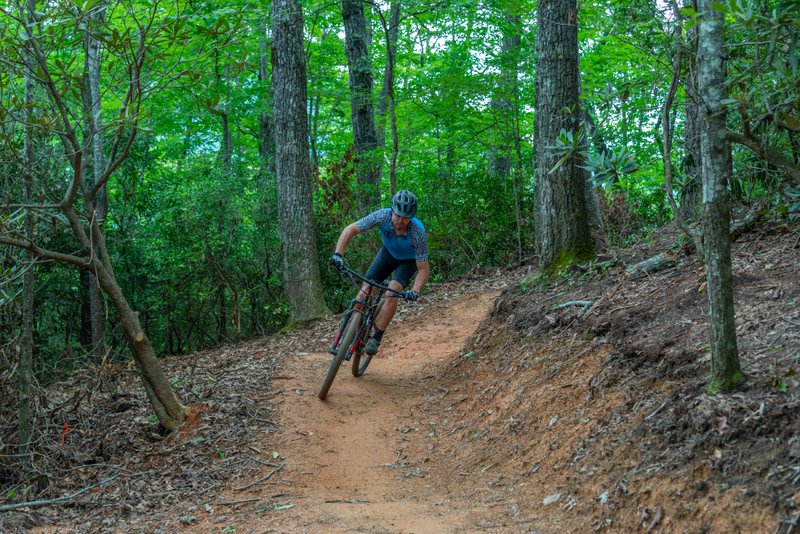
There are 6 miles of recently opened trails in the Old Fort Gateway Trail System that welcome horseback riders, mountain bikers and hikers. Imagine being one of the first visitors to explore these gorgeous treks through the Pisgah National Forest! Eventually the complex will add a total of 42 miles of new trails.
The first 4 miles of the newly opened trails are designed to be accessible and easy for hikers and mountain bikers of all ages and abilities. There are even accessible trails for wheelchair-bound explorers as well! For those looking for a more intermediate experience, the last 2 miles of trails require more skill; they also allow horseback riding.
The trail head is accessed about 1.5 miles down Curtis Road (State Road 1227) and offers picnic tables, restrooms, and plenty of parking. It also allows easy-access trout fishing at Curtis Creek.
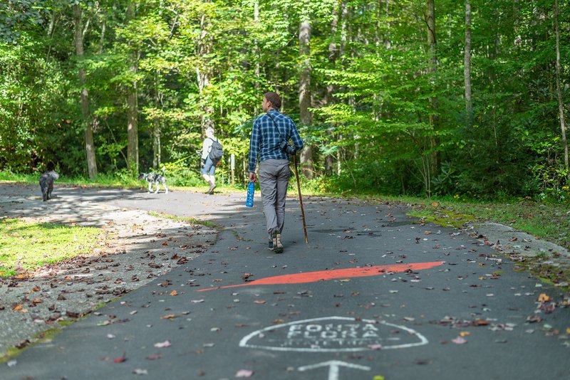
Fonta Flora State Trail
The Fonta Flora State Trail is part of the NC State Park system consisting of 90 acres of conservation land and 19 miles of multi-use trail. Although it passes through 3 counties, the McDowell County portion is well-known to be some of the most beautiful land and scenery you will encounter. Hikers and mountain bikers will especially appreciate the opportunities to cool their feet in the creeks along the way.
The newest portion of the Fonta Flora Trail is the Copper Ridge Trail just outside downtown Old Fort. This new 3-mile-long portion is considered “strenuous,” mainly due to how steep the trail is. It is also designed to be challenging to mountain bikers, so be prepared for switchbacks along the way.
Visitors can access the trail about a mile away from the intersection of Orchard Street and Old U.S. Highway 70. The nearby Visitor’s Center can give you detailed walking or riding instructions to get there.
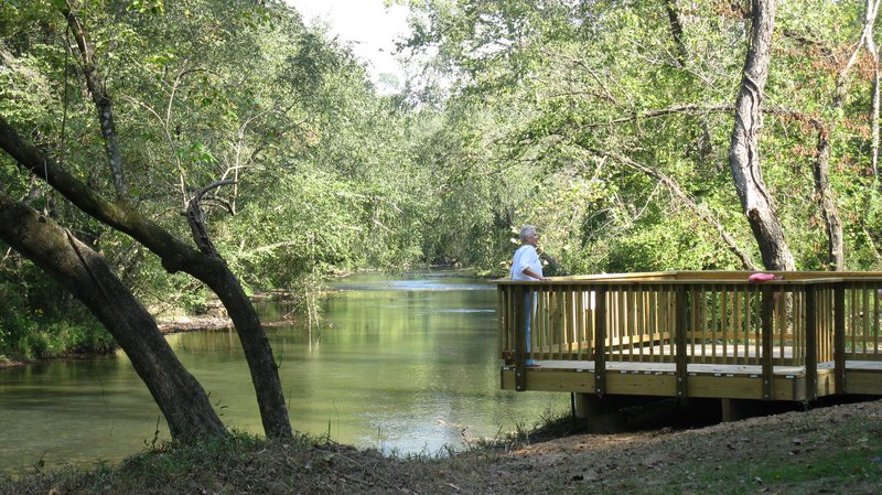
Catawba Greenway
Officially named the Joseph McDowell Historical Catawba Greenway for the Revolutionary War hero, this trail is quite literally a walk in the park. With flat, paved surfaces and no elevation to speak of, walkers, skaters, and hikers at all levels of fitness can relax and enjoy the beauty of walking along the Catawba River.
The entire trail is only 3.5 miles long and takes between 1.5 and 2 hours to complete. There is a short side-hike around the base of Round Hill that will add .25 miles to your walk. Families with young children and seniors will especially appreciate the ease with which strollers and wheelchairs navigate the path. If you need any more incentive to put Catawba Greenway at the top of your list, your pet is also welcome!
The east entrance of the greenway is located directly behind the Pleasant Gardens Historical Marker near Sonic Drive Inn on Highway 70. To reach the west entrance, head toward Old Fort from Marion and turn onto Sam Philips Drive. Both entrances offer handicapped parking and port-o-potties.

Mount Ida Trail
For those of you who enjoy a reward for your hiking efforts, the Mount Ida Wilderness Area is your ideal destination. It features a gravel access road, parking lot, and picnic shelter for your convenience. The trail itself is only .5 miles long but considered to be moderate to strenuous in difficulty level.
Your prize for your efforts is the unbelievable views of downtown Marion from the top of the trail. Bring along a picnic lunch and your camera!
To get there, take Exit 85 off I-40 to Highway 221 in Marion. Travel north, but be aware the road name changes to Rutherford Road. Turn left onto Youngs Creek Road and then take a right onto Mount Ida Road and drive to the parking area at the top.
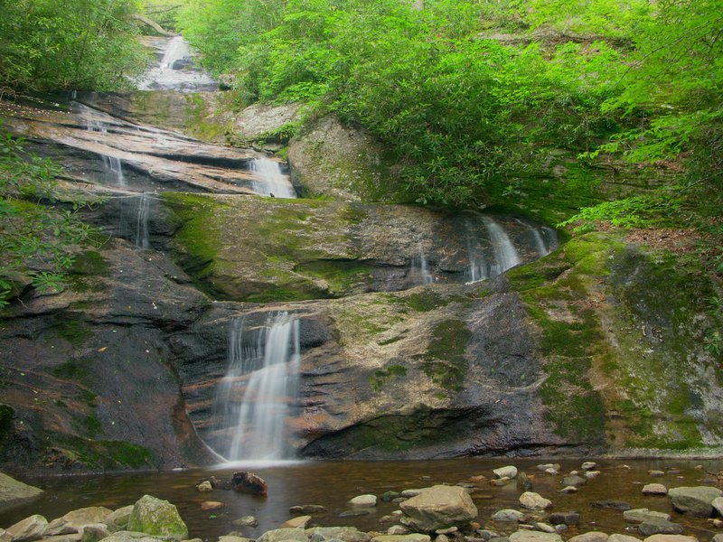
Setrock Creek Falls
Another stunning hike offering a big visual prize is Setrock Creek Falls. This 1.1-mile, out-and-back trail leads you to a breathtaking, multi-tiered waterfall cascading down 50 feet into a small pool below at the base of Mount Mitchell. The route itself is considered easy and suitable for kids and leashed pets.
While at their most spectacular after a good rain, the falls are nonetheless magnificent even at a trickle. In fact, if you are interested in the geology of the area, the fascinating rock faces are stunning in their own right.
The trailhead is located near Mount Mitchell at the Black Mountain Campground. To get there, take Hwy 70 out of Old Fort/Marion to Hwy 80 north. Stay on this road for 14 miles until you reach South Toe River Road. Travel just under 3 miles farther, following the signs to Black Mountain Campground.
You will park directly across from the campground and cross the bridge. Take your first left onto Briar Bottom Road, following the signs for Mount Mitchel Trail. Then take your second trail on the right marked with white blazes to Setrock Creek Falls.