Spring in the Blue Ridge Mountains ushers in warmer temperatures, a bright green forest canopy, and the return of outdoor exploration.
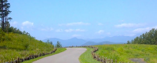
This time of year visitors begin hitting the trails, many of which can be accessed by driving along the Blue Ridge Parkway. Considered to be America's favorite scenic drive, the Parkway is home to some rather spectacular natural attractions. Here are some you shouldn't miss.
- Mt. Mitchell, the highest peak east of the Mississippi.
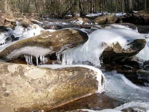
- Linville Falls and Gorge - a stunning wilderness area with hiking and three thundering waterfalls.
- Craggy Gardens - The rhododendrons here are gorgeous. They usually bloom in late spring.
Before you make plans, check with us, or the Blue Ridge Parkway website, for closures or projects. Spring weather can change quickly!
Top Places to Explore on Foot in the Blue Ridge
A few of our favorite trails are below. If you need a free map or would like to learn about other places to check out, then give us a call at 828-668-4282.
Crabtree Falls
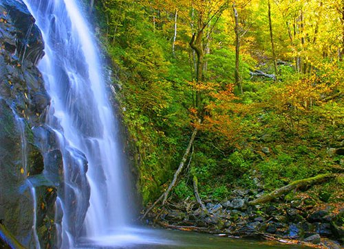
This picturesque waterfall trail is located south of Little Switzerland at Milepost 339.5 and is a moderate 2.5-mile loop with a slightly steep downhill slope. The payoff at the bottom is worth it! This is a 60-foot waterfall cascading over uneven rock, gorgeous.
Tom's Creek Falls
An easier walk following the flow of Tom's Creek with benches and a handicap-accessible viewing deck. You'll find it 7 miles north of Marion off US 221. Turn left at Huskins Branch Road, drive 1.3 miles and look for the parking area and trailhead on the right.
Point Lookout Trail
Outside downtown Old Fort, this 3.62-mile paved trail opens to spectacular views of the Royal Gorge. Lots of history associated with this one. It's non-motorized, feet and bicycles only. There are benches along the way if you need a rest! Within this distance, elevation changes between 1800-2900 feet above sea level. From US 70 in Old Fort, turn onto Old US 70, driving 2.4 miles to the Old Fort Picnic Area on the left. Park here and walk down Old US 70 until you enter the trailhead at the U.S. Forest Service gate.
Snook's Nose
A strenuous trail, this one is for experienced hikers only. It's 27 miles following a narrow trail ascending approximately 2,800 feet. From US 70 in Old Fort, travel east to Curtis Creek Road, turning left. Follow Curtis Creek Road about four miles into the campground section. The Trailhead is on the left, just before the parking lot area.